Property Photos |
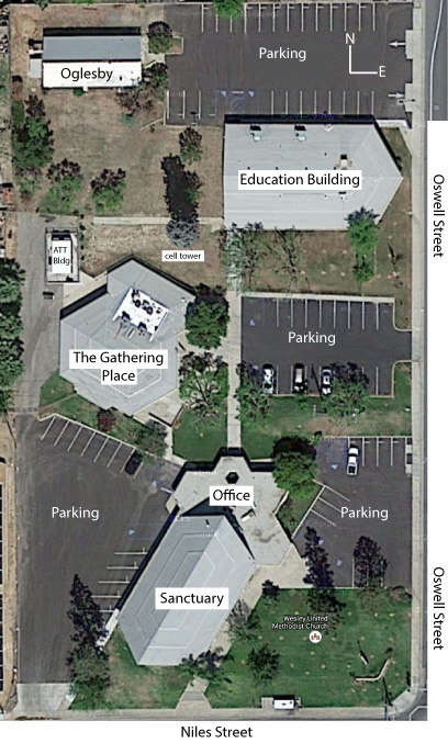
overview map |
| Here are views of the Wesley Church property from a variety of angles. Let the webmaster know which pictures you like and which ones can be removed. (This page will probably take a while to download over a modem.) There are some mosaics at the bottom that are l-o-n-g. |
 |
|
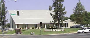
This is the view from the diagonal-opposite corner of Niles and Oswell. |
|
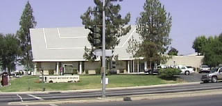
This is the view from across Niles Street (in front of the McDonald's). |
|
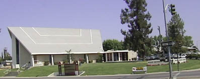
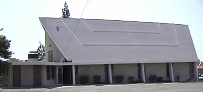
The view from across Oswell Street (in front of the Vallero station). |
|
The view from the Niles Street parking lot (west side of the building). |
|
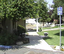
The garden walkway going to the north entrance. |
|
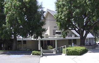
The view of the north entrance from the main parking lot. |
|
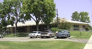
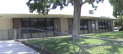
The Education Building is north of the main sanctuary (Oswell St. is to the right). |
|
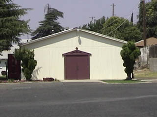
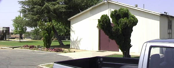
Our Youth Group meets in Oglesby Hall (north of the Education Building). |
The next set of pictures are panorama shots so you will have to scroll right to see all of a picture.
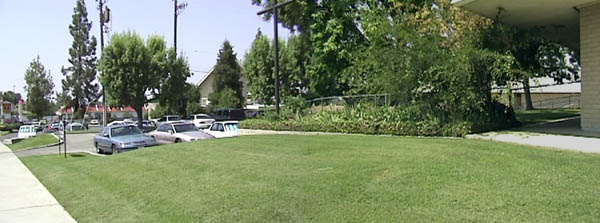
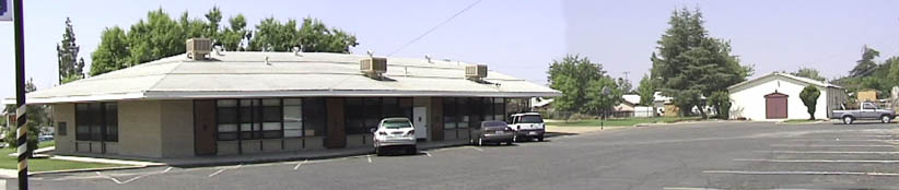
A view of the Education Building from the main parking lot.
Looking south toward the intersection of Niles and Oswell. The edge of the Education Building is on the right and the main sanctuary is visible behind the tree left of center.
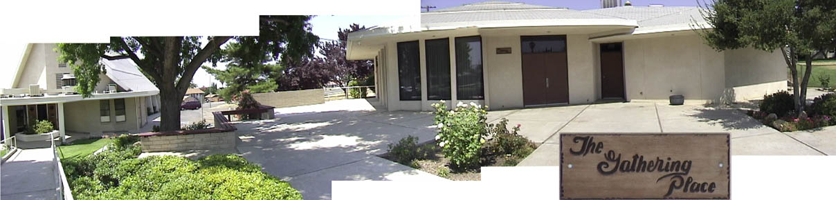
This mosaic is a view from the main parking lot. The main sanctuary is at left and The Gathering Place is to the right (the sign is shown in the inset). The Gathering Place is where we have large group meetings like the United Methodist Women, church dinners, potlucks, and other special events.
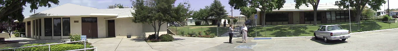
Another mosaic from the main parking lot. From left to right you see The Gathering Place is at left, Oglesby Hall in the background, and the Education Building.
Oglesby Hall and the adjoining play area is visible in this picture from the upper parking lot (off of Oswell St.)
The Education Building (north side) and Oglesby Hall from the entrance to the upper parking lot (north end of the property off of Oswell St.)